Bell Island Battle of the Atlantic Memorial
Why This Expedition Matters
The Bell Island Battle of the Atlantic Virtual Memorial Expedition is a Canadian-led initiative to document and commemorate one of the most significant naval battlefields of the Second World War.
This project brings together historical research, underwater archaeology, marine sciences, and advanced three-dimensional mapping to record the wrecks at Bell Island and interpret them within the wider North Atlantic war.
It will result in a permanent digital memorial—accessible to Canadians and an international audience—that preserves and presents this unique wartime landscape.
Support the Expedition
Why This Matters
Unlike land battlefields, the naval war is largely invisible. Ships were lost offshore, often without witnesses, and many who died have no known grave.
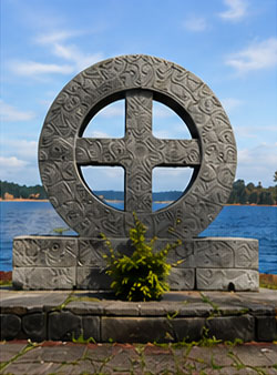
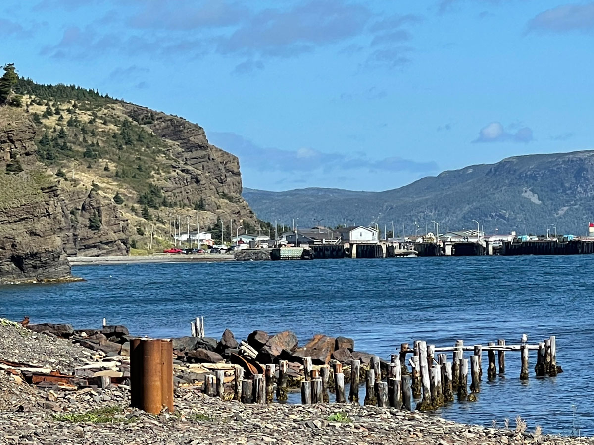
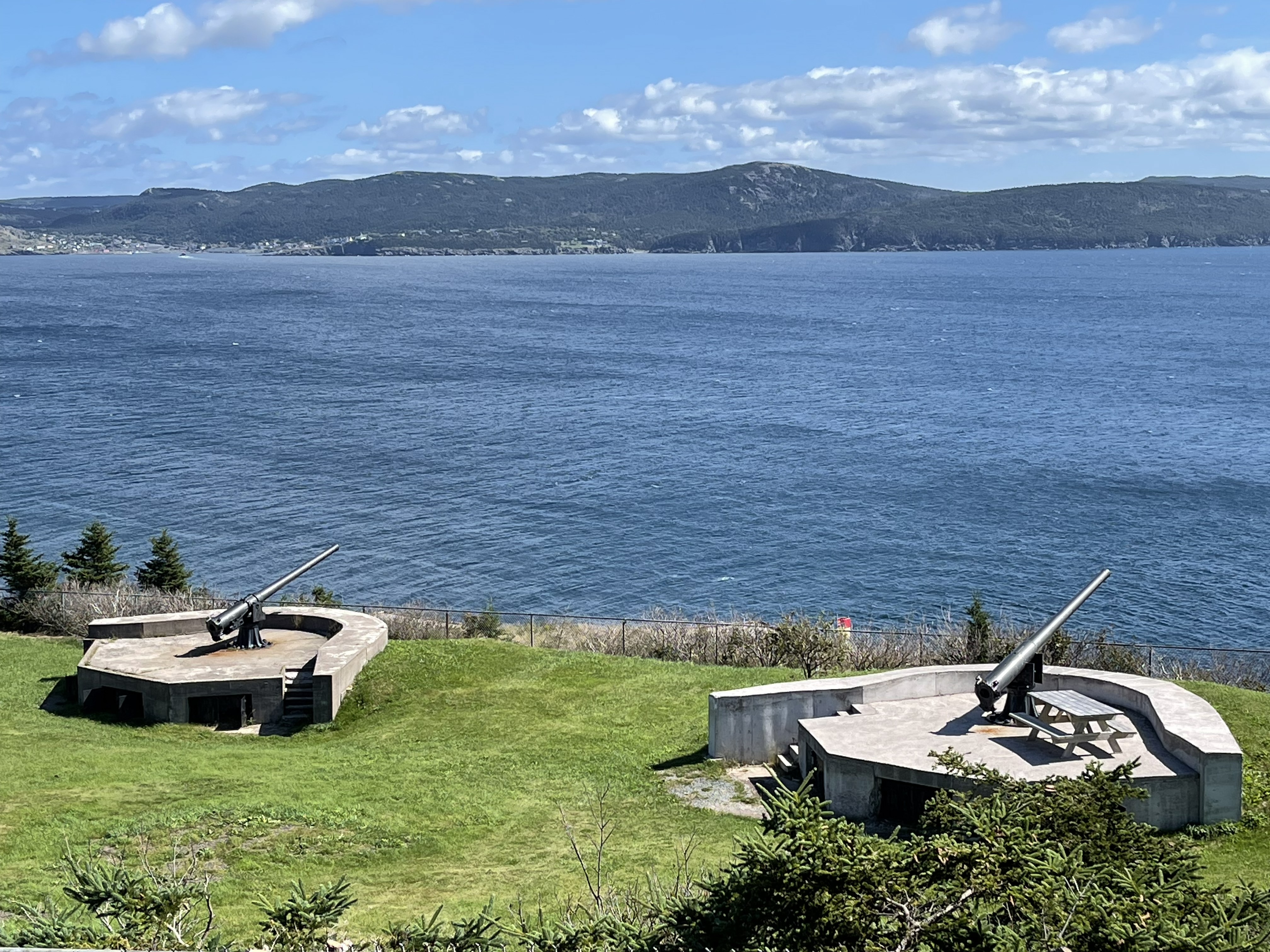
Bell Island is one of the few places where this history can still be understood in a defined and accessible setting—where wrecks, coastal defences, industrial infrastructure, and memorial sites remain linked within a single landscape.
This project ensures that one of Canada’s most important wartime environments is properly documented, preserved, and made accessible for future generations.
Why Now
Field operations for the Bell Island Expedition are planned for 2027.
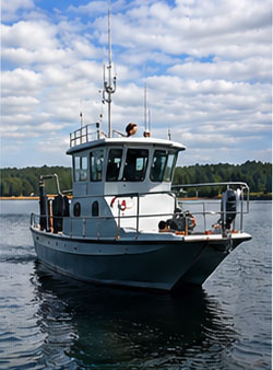
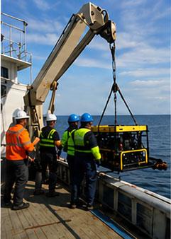
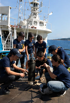
Securing funding in advance is essential to confirm vessel availability, deploy specialized imaging systems, support field operations, and enable student participation through Memorial University’s Marine Institute.
Without this support, the full documentation of the site—and the creation of the Virtual Memorial—will not be possible at the intended scale.
What Your Support Enables
Climate and Preservation: Why This Work Is Time-Sensitive
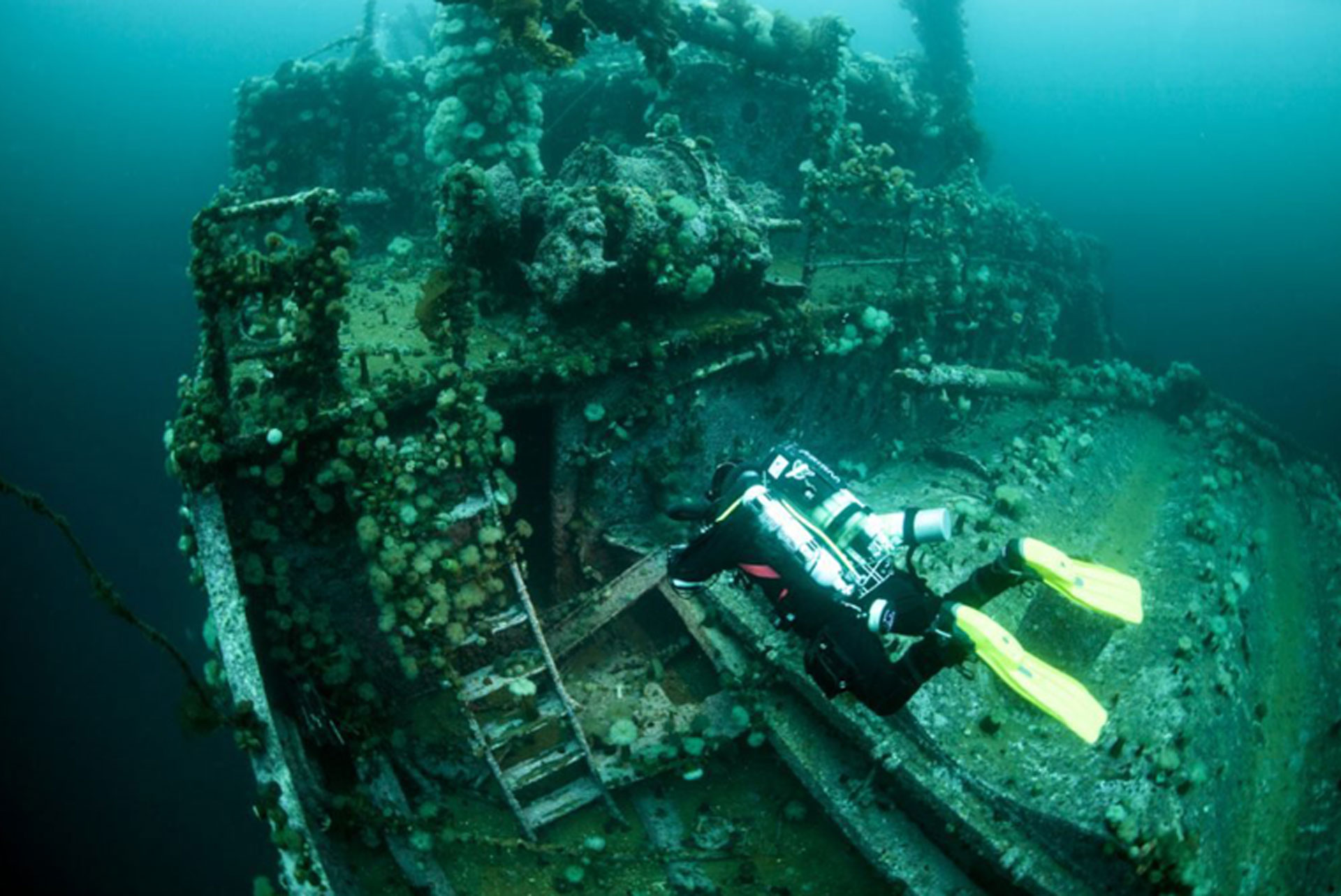
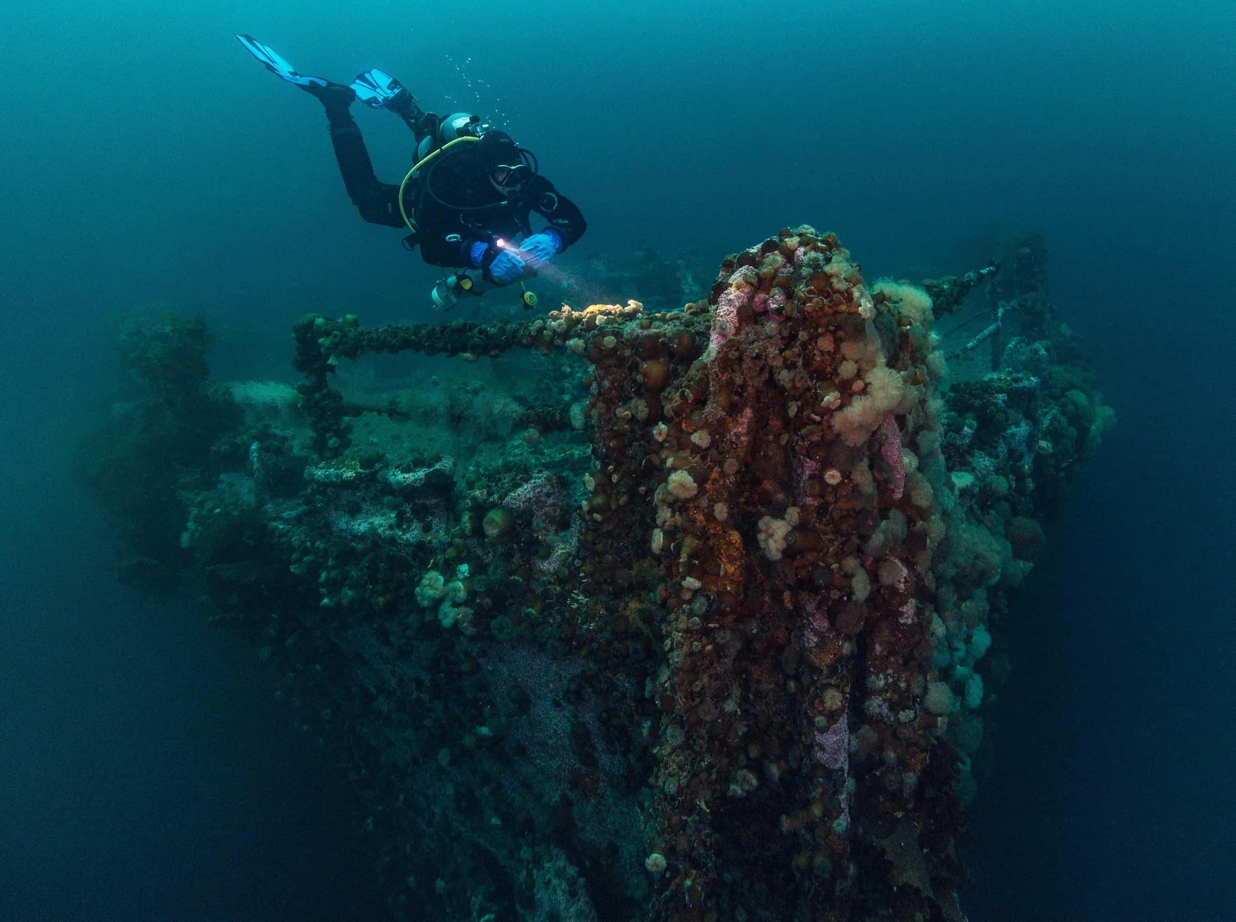
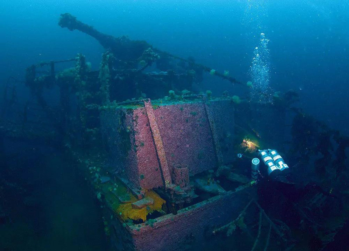
The Bell Island wrecks have been on the seabed for more than eighty years. Over that time, they have become part of the marine environment—but they are also subject to ongoing deterioration.
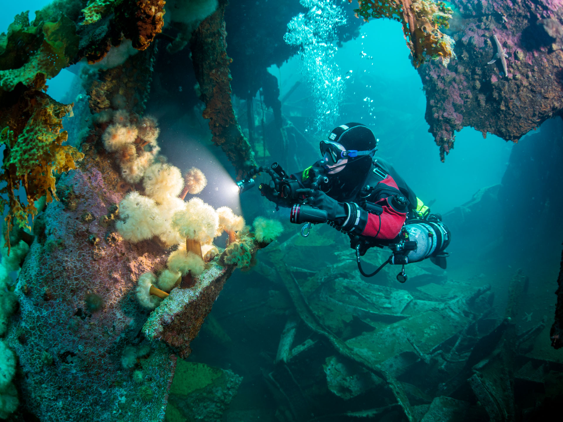
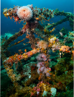
Changes in ocean conditions, including temperature variation, biological activity, and long-term environmental shifts, are affecting both the surrounding ecosystem and the physical structure of the wrecks themselves.
The expedition will establish a baseline record of:
- Environmental conditions and marine life associated with the wrecks
- Structural condition and integrity of each vessel
- Site formation processes and long-term preservation trends
This baseline will support future scientific and archaeological study by allowing researchers to monitor environmental change and assess the long-term deterioration of the wrecks over time.
Without comprehensive documentation, both the ecological context and physical condition of the wrecks will continue to change without a permanent scientific record of their current state.
Expedition Collaboration and Expertise
The expedition is carried out through a coordinated partnership combining academic, scientific, technical, and operational expertise.
- Marine Institute, Memorial University of Newfoundland (MI-MUN): Vessels, field operations, drone imaging, and research integration.
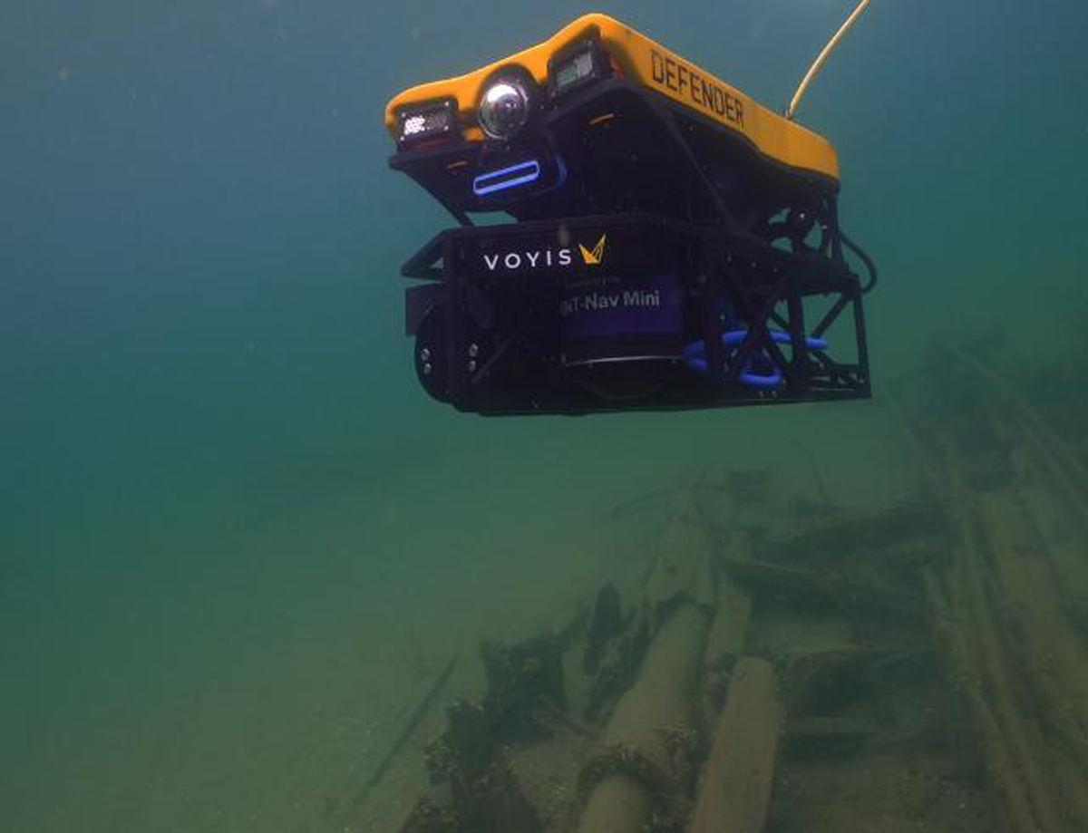
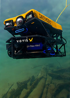
- VOYIS Imaging: Underwater imaging systems, three-dimensional documentation, and data processing.
- Royal Canadian Geographical Society (RCGS): Expedition governance, funding administration, cartographic support, and national outreach.
- Shipwreck Preservation Society of Newfoundland and Labrador (SPSNL): Heritage stewardship, provincial coordination, and community engagement.
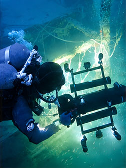
- HMCS Canada Expedition Dive Team: Advanced underwater documentation, technical diving operations, and photogrammetric field support.
The expedition has been awarded a Major Grant by the Royal Canadian Geographical Society and operates under the Society’s established expedition governance and financial oversight framework.
A Project of National and International Significance
The Bell Island Expedition will create a permanent digital memorial and scientific record of one of the most intact naval battlefields of the Second World War.
By integrating underwater archaeology, marine science, historical research, and advanced digital mapping, the project will preserve a site that would otherwise remain largely unseen and difficult to interpret.
Support for the expedition contributes directly to:
- Preservation of a nationally significant wartime landscape
- Advancement of interdisciplinary archaeological and marine research
- Development of innovative digital heritage tools and public interpretation
- Greater public understanding of the Battle of the Atlantic
- Commemoration of those who served and died at sea
Without comprehensive documentation, much of this history will gradually be lost to environmental change and structural deterioration over time.
Support the Expedition
Donations may be made through the Royal Canadian Geographical Society’s secure expedition funding portal.
All contributions are administered through the Society’s official expedition program and are eligible for Canadian charitable tax receipting.
Support for the expedition helps advance underwater archaeology, marine science, digital heritage documentation, public education, and long-term preservation of one of Canada’s most significant Battle of the Atlantic landscapes.
Organizations, foundations, and potential sponsors interested in supporting the expedition are invited to contact the project team directly.
Contact the Expedition
Joseph Frey
Help Preserve the Battle of the Atlantic
The Bell Island Expedition is creating a permanent digital memorial to one of the most significant surviving Battle of the Atlantic landscapes in the world.
Through underwater archaeology, marine science, and advanced three-dimensional documentation, the project will help preserve this unique wartime environment for future generations.