The Battle of the Atlantic was the dominating factor all through the war. Never for one moment could we forget that everything happening elsewhere, on land, at sea, or in the air depended ultimately on its outcome.
Winston Churchill
The only defended industrial harbour in North America attacked by German U-boats during the Second World WarArchival Footage: The Battle of the Atlantic
An Invisible Battlefield
Unlike traditional battlefields, the Battle of the Atlantic left no preserved front lines, monuments, or cemeteries to convey its scale. Over 4,600 Canadian sailors, air crew and merchant seamen from the Royal Canadian Navy, Newfoundland Escort Force, Royal Canadian Air Force, and Merchant Marine, were lost at sea, often without graves, and families were left without a place to visit or remember. As a result, much of this defining campaign remains physically and publicly invisible.
The Bell Island Battle of the Atlantic Virtual Memorial addresses this absence by creating a permanent, accessible representation of one of Canada’s most significant wartime environments.
A Memorial Built Through Science and Exploration
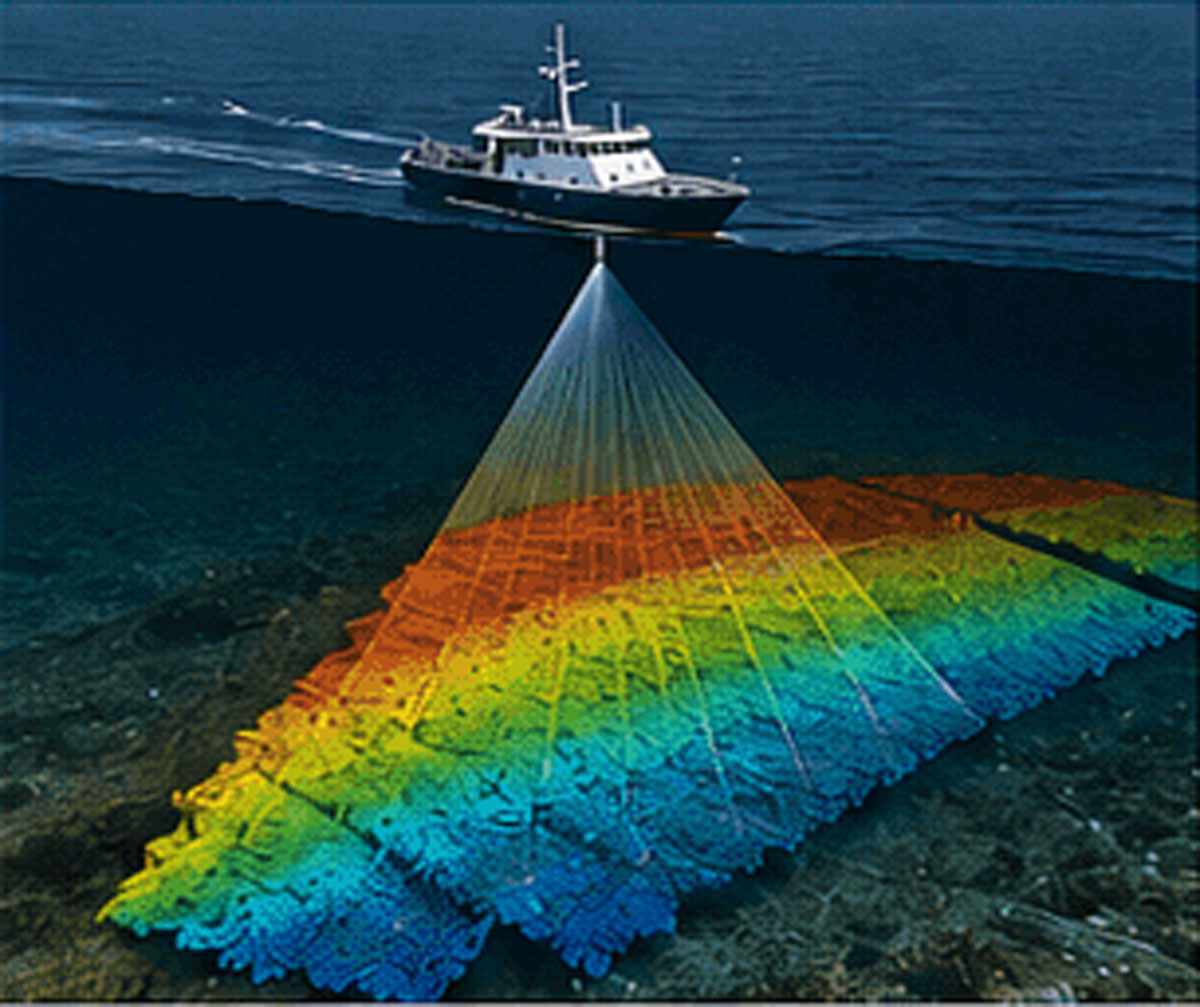
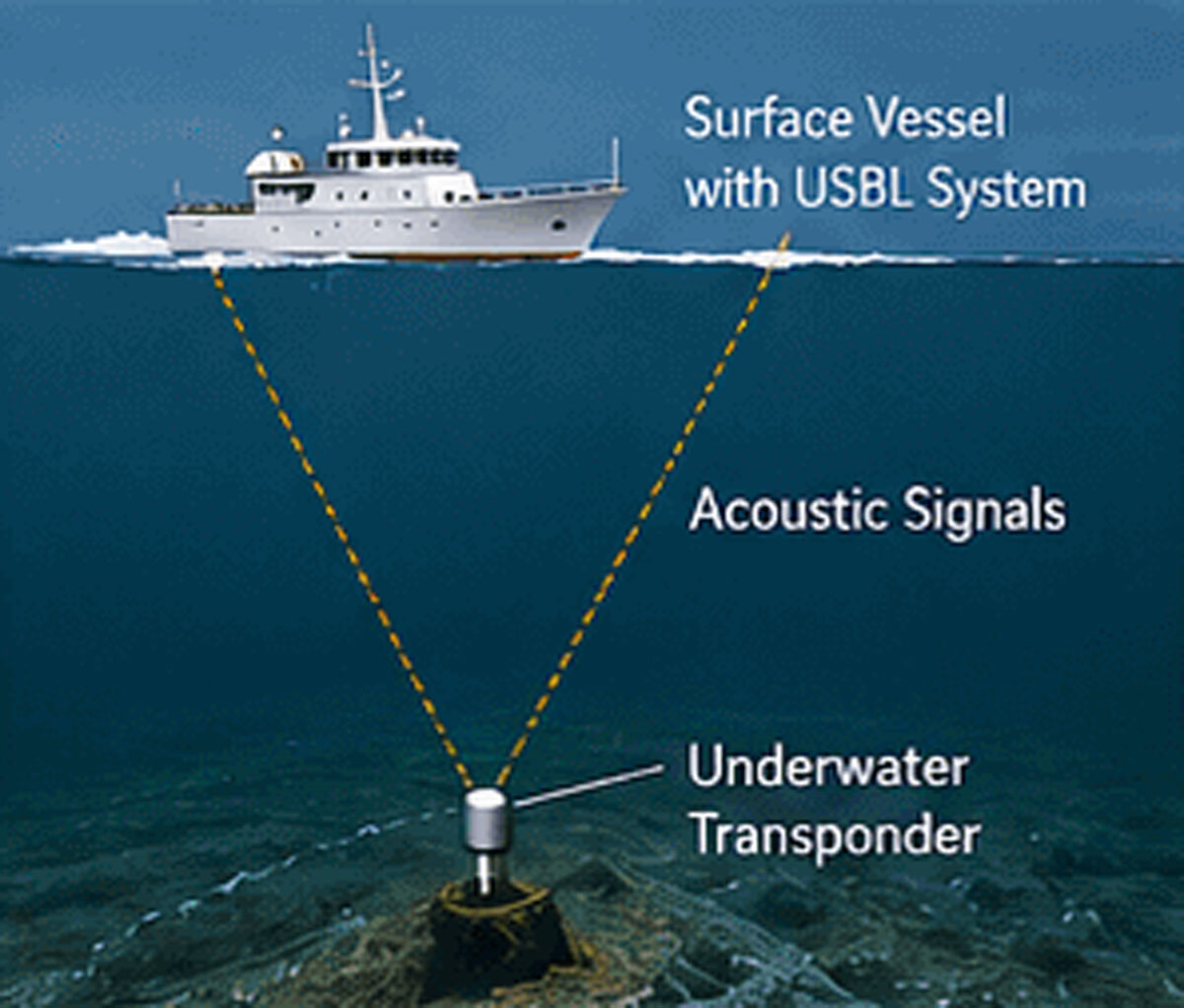
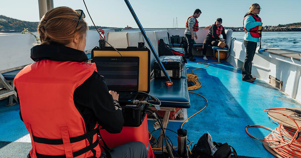
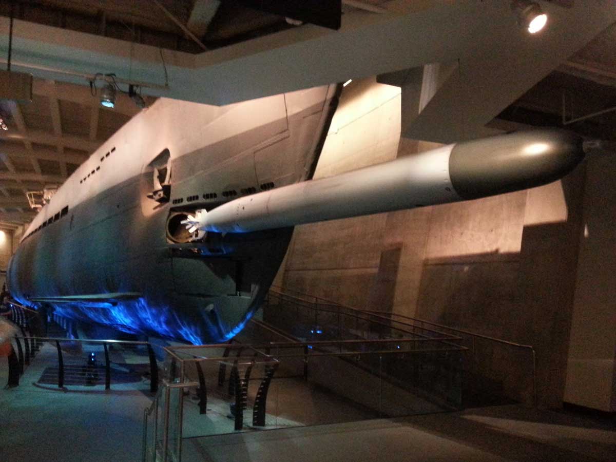
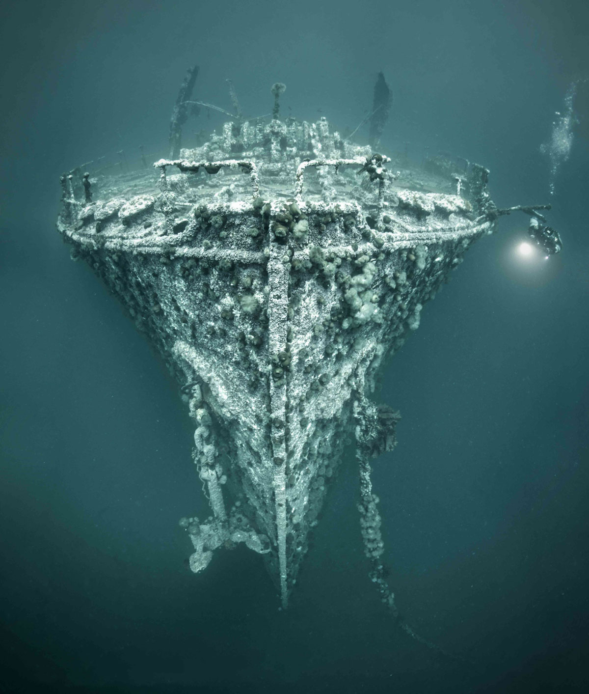
This work builds on the HMCS Canada Expedition 2025, which produced a complete three-dimensional photogrammetric model of Canada’s first purpose-built warship, as part of an integrated archaeological and marine science investigation, and NOAA’s 2016 Battle of the Atlantic Expedition, which documented the wrecks of the German submarine U-576 and the freighter Bluefields off North Carolina.
Bell Island: A Rare Wartime Landscape
Bell Island preserves a unique concentration of wartime features linked within a single geographic setting:
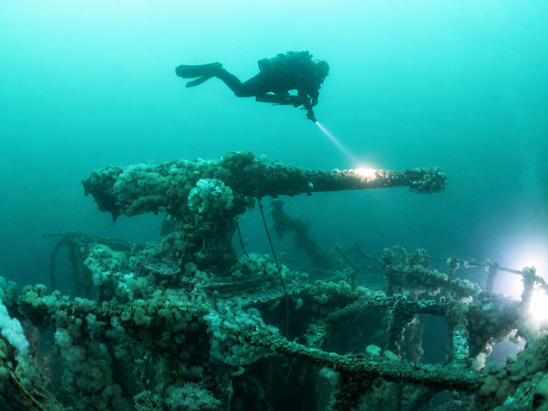
- Four Second World War shipwrecks in Conception Bay
- The remains of Scotia Pier
- A preserved coastal artillery battery
- The Seamen’s Memorial Cemetery at Lance Cove
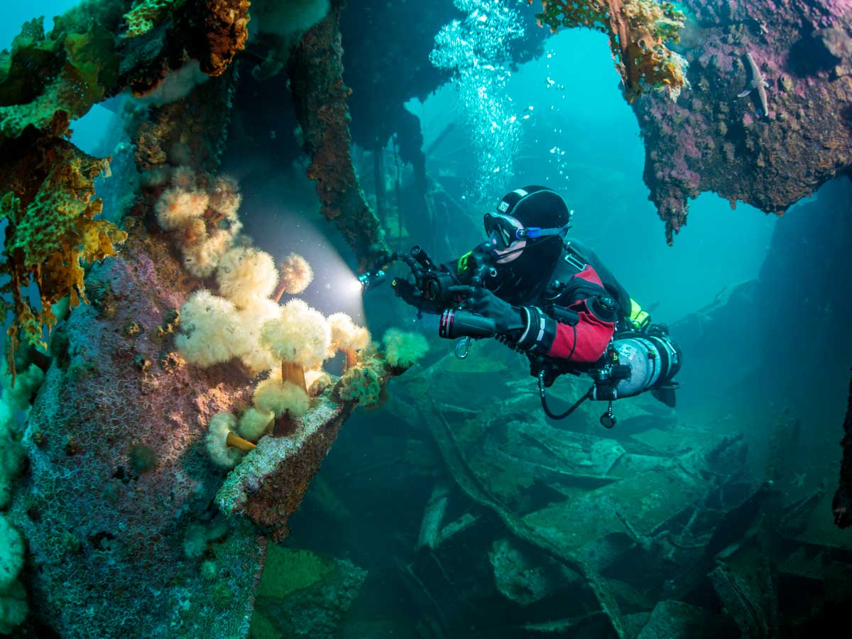
- Extensive flooded iron ore mine workings
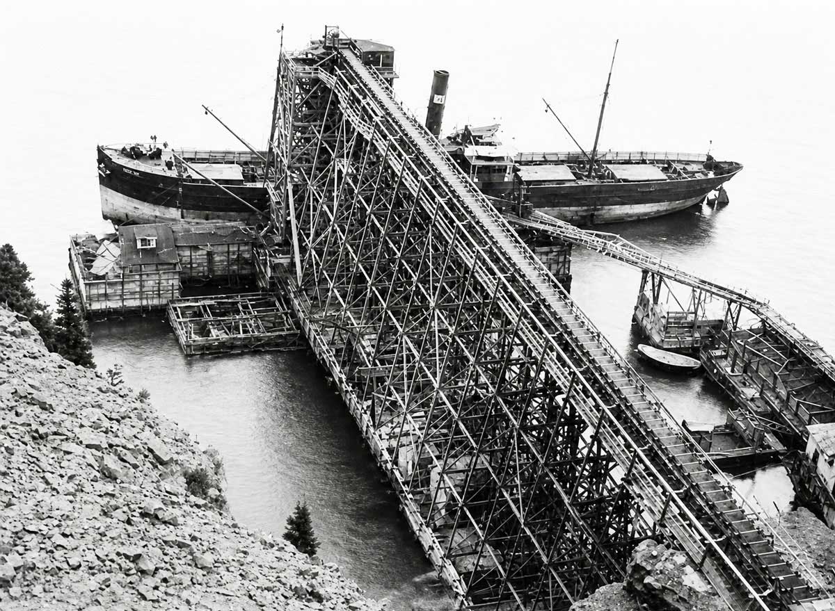
Newfoundland and the North Atlantic War
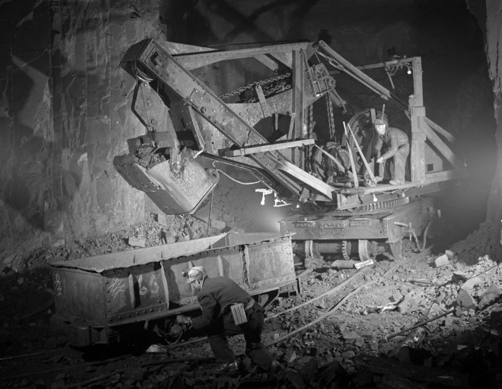
From Seafloor to Digital Memorial
Expedition Partners and Collaborators
- Marine Institute, Memorial University of Newfoundland (MI–MUN)
- Shipwreck Preservation Society of Newfoundland and Labrador (SPSNL)
- VOYIS Imaging
- Royal Canadian Geographical Society (RCGS)
- HMCS Canada Expedition Dive Team
The expedition has received grant support from the Royal Canadian Geographical Society and is further advanced through significant in-kind contributions from academic and technical partners.
Additional support from private donors, foundations, government programs, and corporate partners will enable the full realization of the Virtual Memorial.